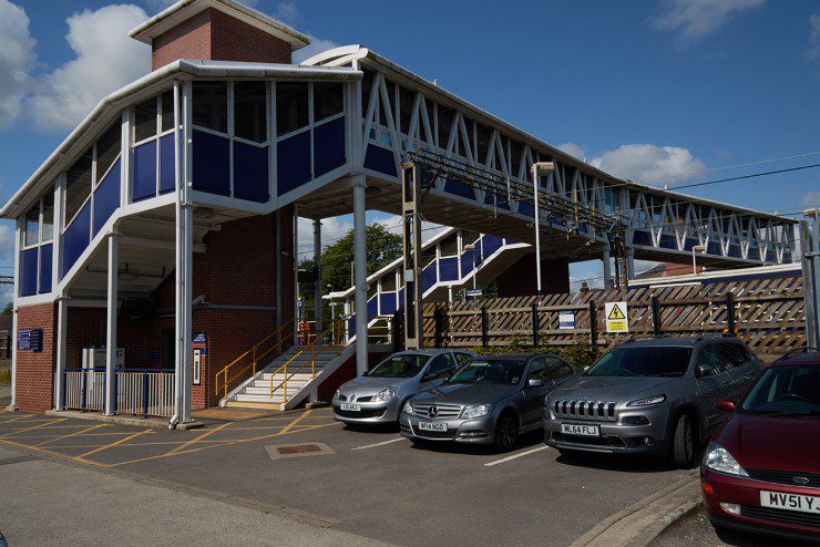
Cheadle Hulme is a pleasant suburb with excellent transport links, which has managed to preserve much of its village character. The centrally located station benefits from three services an hour to Manchester.
The station gives easy access to Bramall Hall and its surrounding park land.
Geocaching
Cheadle Hulme has a number of Geocaches surrounding the Station. An example circular route has been created that you may choose to follow to explore the nearby Geocaches, while enjoying the outdoors. Click the subtitle of this section to view the route on Google Maps.
This circular Route is 3.6 miles long and takes 1 Hour 13 Minutes to complete; with the opportunity to find 7 Geocaches along the route. (Time taken to find the Geocaches not included)
Below is the listed route that is shown on Google maps with the names and co-ordinates of the Geocaches. Click on Geocaches below to be re-directed to more information on each one (You must have an account to view content)
Cheadle Hulme Station
Welcome to Cheadle Hulme– N 53° 22.422 W 002° 11.104
Bramhall park- Car Park View– N 53° 22.375 W 002° 10.063
Bramhall Park Steps– N 53° 22.411 W 002° 09.763
Bramhall park- Two trees– N 53° 22.503 W 002° 10.208
Subdermatoglyphic– Multi Cache- N 53° 22.665 W 002° 10.598
Ladybridge– N 53° 22.868 W 002° 11.000
Oak Meadow– N 53° 22.582 W 002° 11.423
Cheadle Hulme Station